
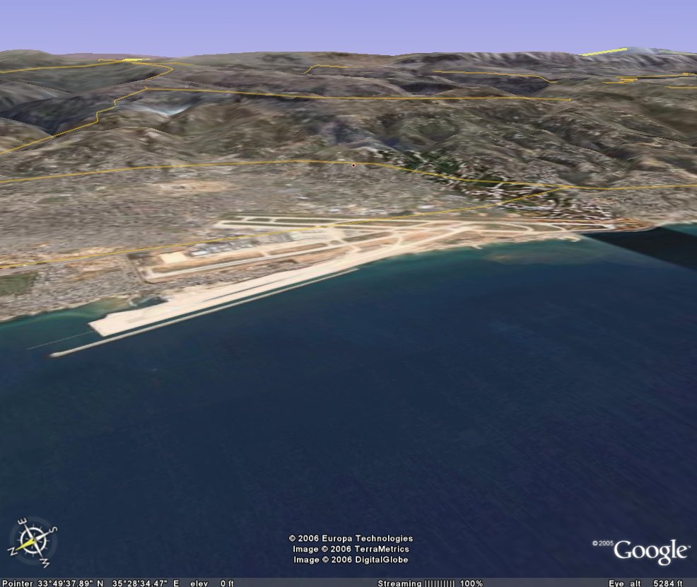
One of the great things about Google Earth is that it allows also contains a "terrain map" providing elevation information, allows you to rotate and tip the imagery any direction, and even "fly" the countryside.
In this oblique image the observer is out over the Mediterranean, looking in at the Beirut airport. At least, this is what it used to look like until Israel bombed it today.
No comments:
Post a Comment